Checks and decisions
Why S1 needed checking
The tests show that the network agrees with itself. Whether it matches the street is a separate question, so I count S1 as finished only when every doubtful place has a recorded decision.
To find those places, I compared S1 with two independent sources, both downloaded on 7 October 2026. OpenStreetMap, mapped by volunteers, gives a second opinion without authority. The city’s bike network holds the off-street paths missing from the street file. Agreement between them raises my confidence; the final word is a photo or a visit.
Decisions
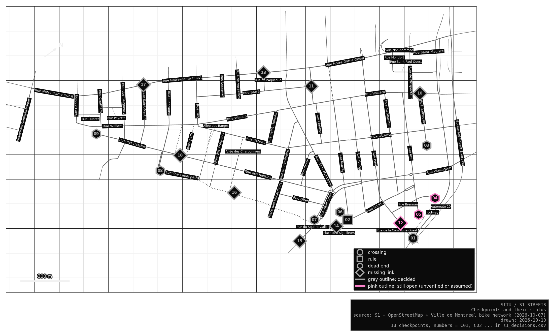
I looked at each checkpoint in Google Street View, and in Mapillary where Street View was old. Some of that imagery dates from 2007 to 2016, so every decision keeps the date of its evidence. The city’s data is never edited; S1 applies my decisions on top of it. Their effect on the network is summed up in S1 Streets.
| Place | Decision | Evidence (date) | |
|---|---|---|---|
| C01 | Rue de la Commune under Autoroute 10 | An overpass: the roads cross without meeting, so no junction. | Street View; OpenStreetMap marks a bridge (2025-09) |
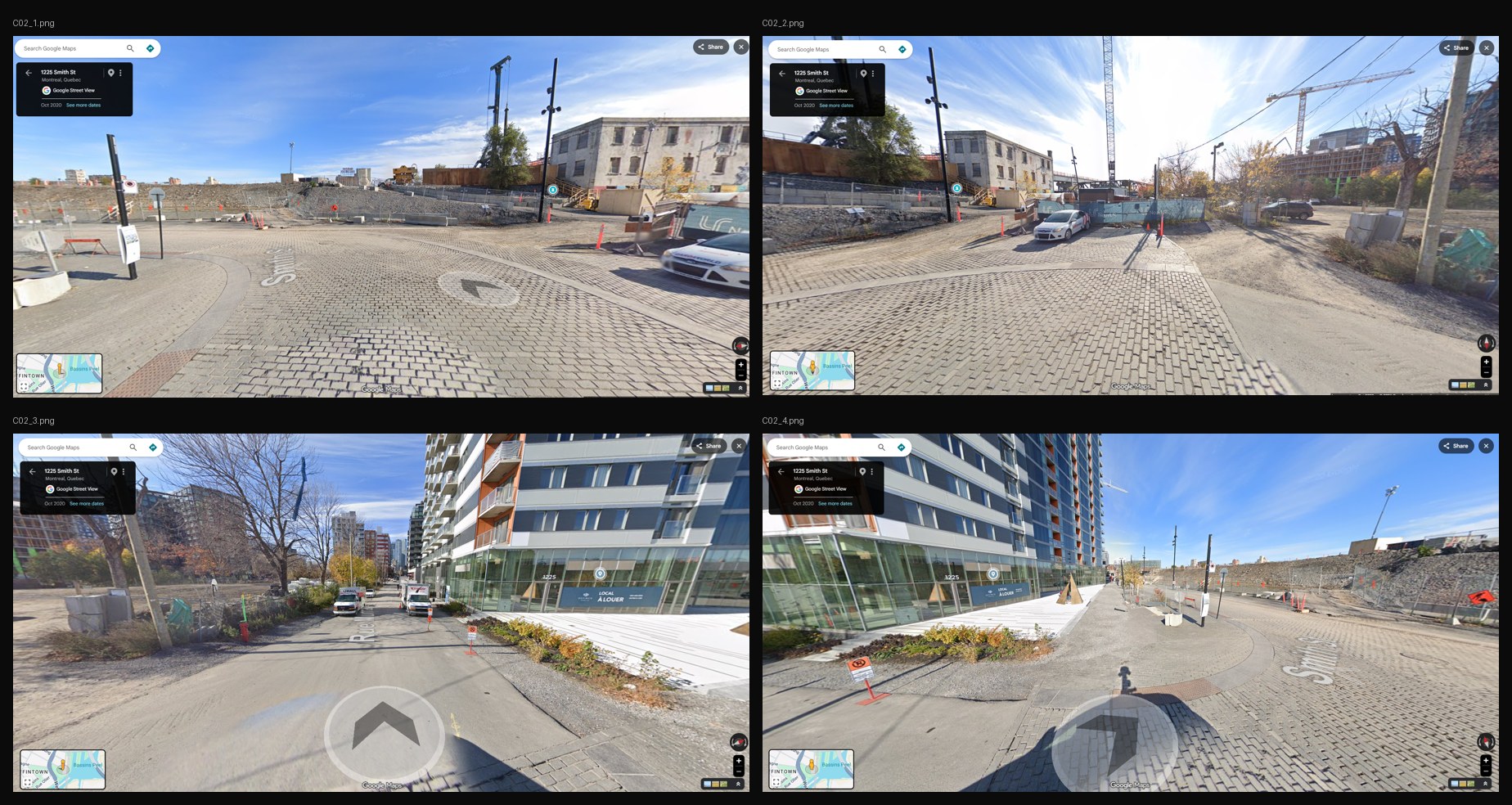
| C02 | Rue Smith (Place des Aiguilleurs) | Walk only: a paved pedestrian plaza, with only service vehicles seen. | Street View; OpenStreetMap (2020-10) |
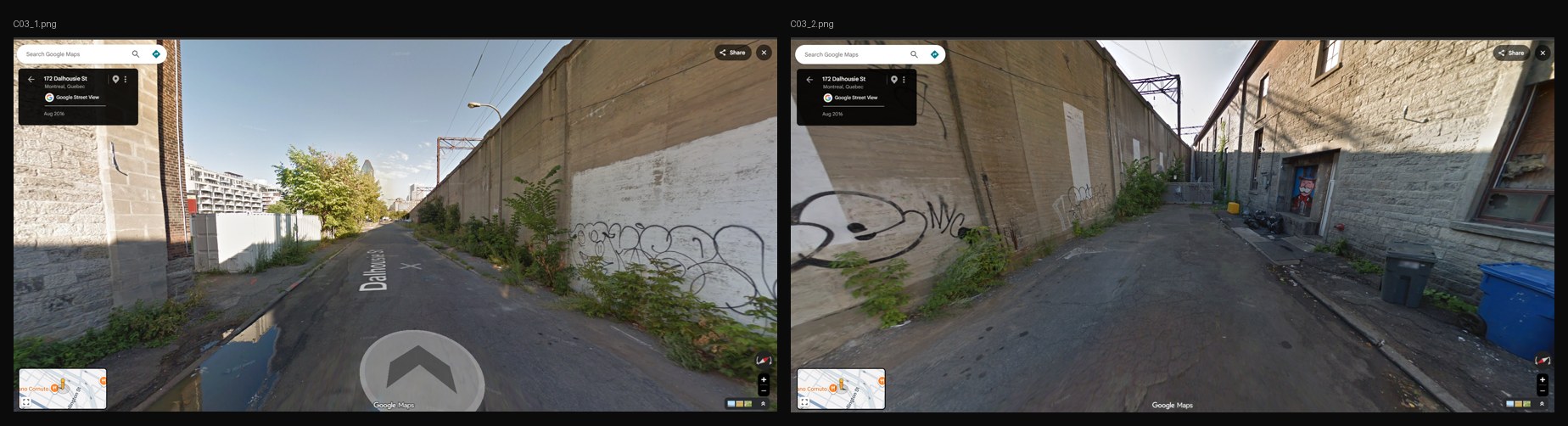
| C03 | End of Rue Dalhousie | A real dead end: a gate closes the lane along the railway wall. | Street View (2016-08) |
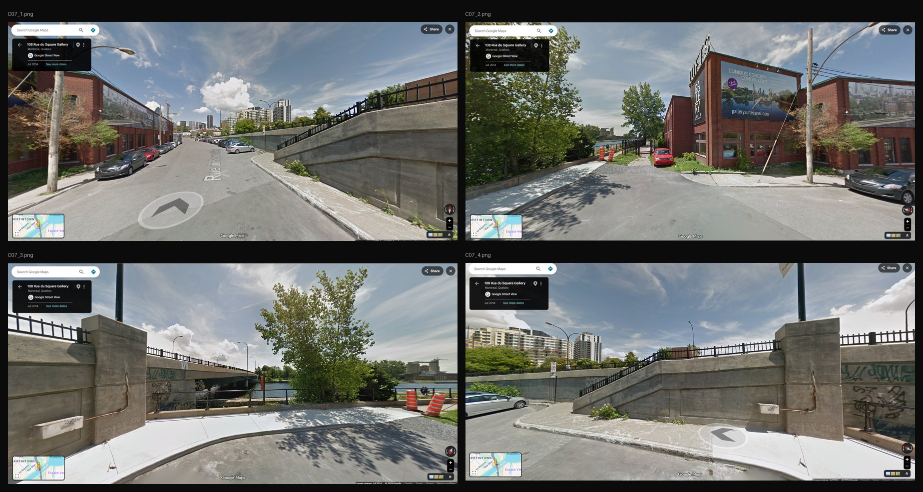
| C07 | End of Rue du Square-Gallery | A dead end for cars; walkers continue to the canal path (C16). | Street View (2014-07) |
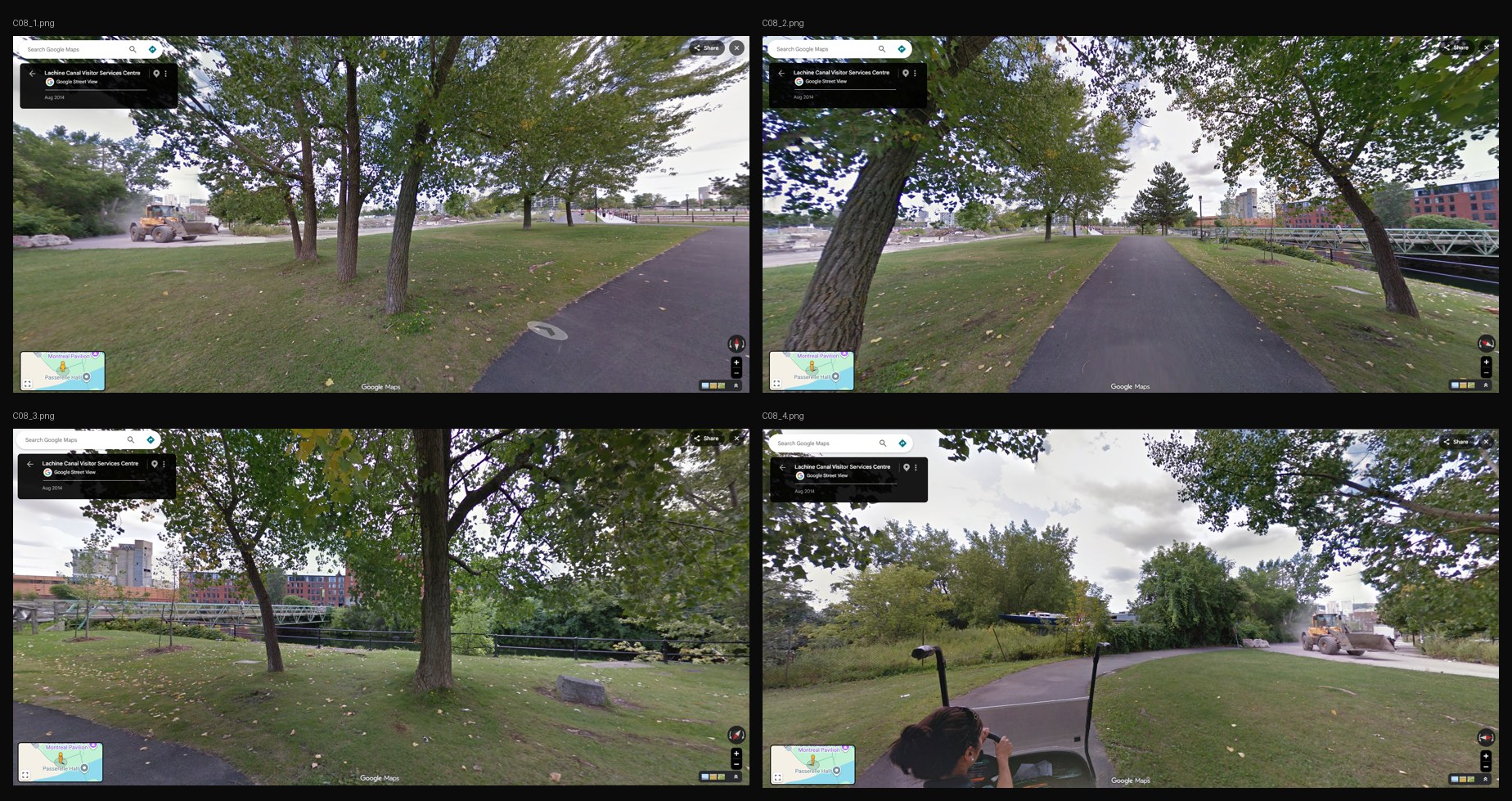
| C08 | End of Rue Richmond | A dead end for cars; walkers continue to the canal path (C16). The footbridge across the canal leads out of the area and is left out. | Street View (2014-08) |
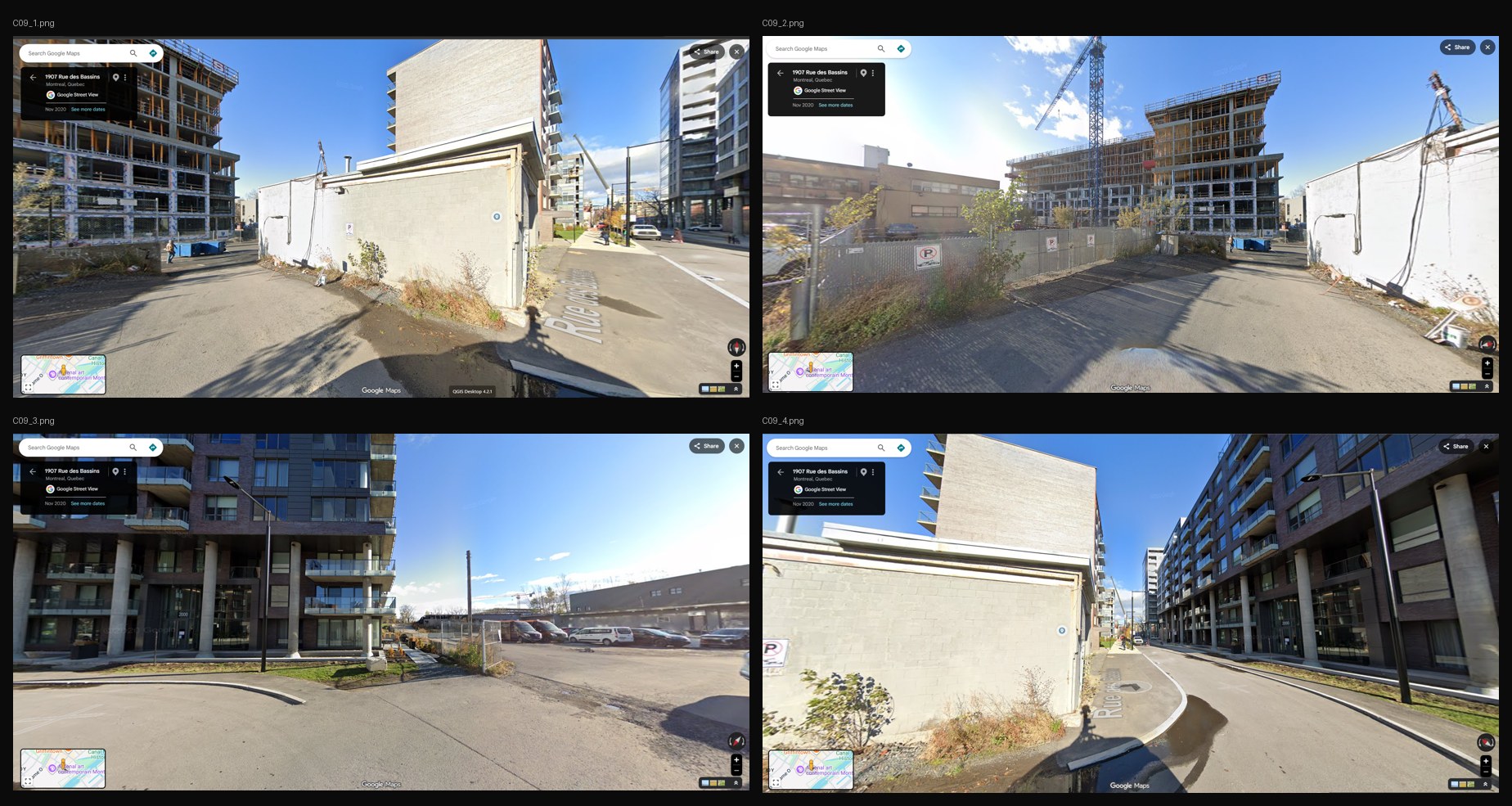
| C09 | East end of Rue des Bassins | A real dead end: private parking. | Street View (2020-11) |
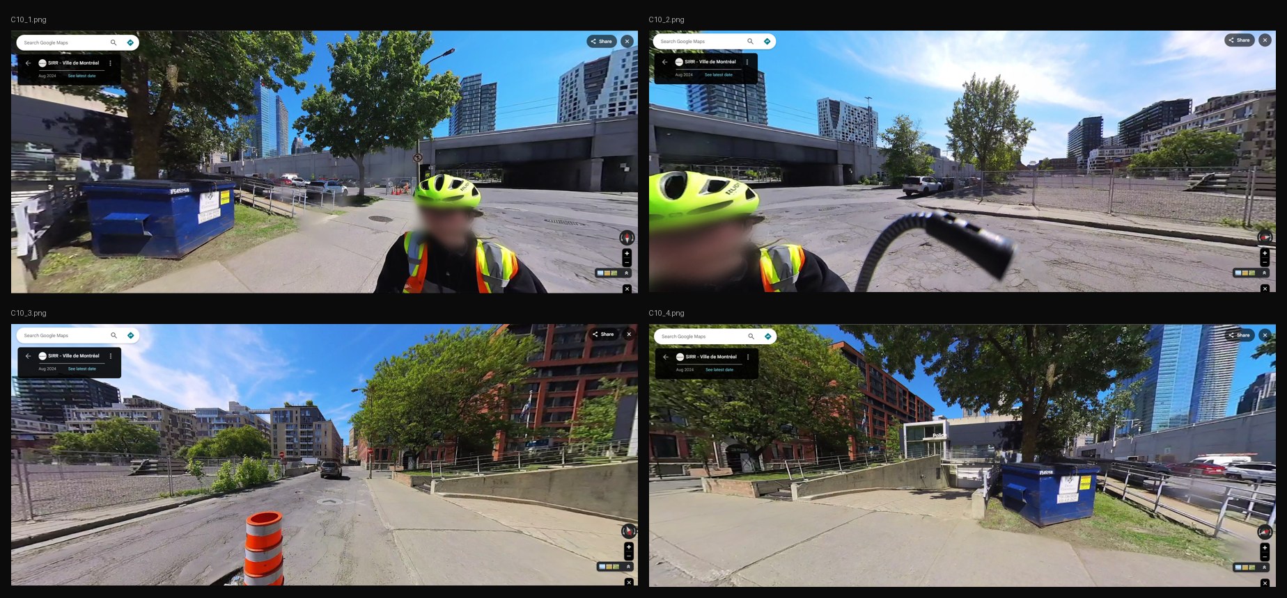
| C10 | Path by the police station (Dalhousie and William) | No change: it touches the network at one end only. | Street View (2024-08) |
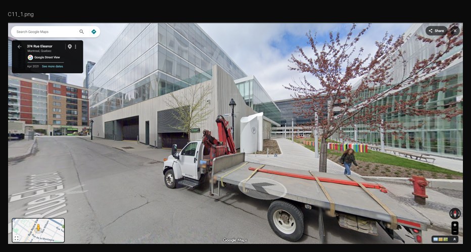
| C11 | ÉTS campus walkway (Barré and Eleanor) | No change: it only leads into the campus. | Street View (2021-04) |
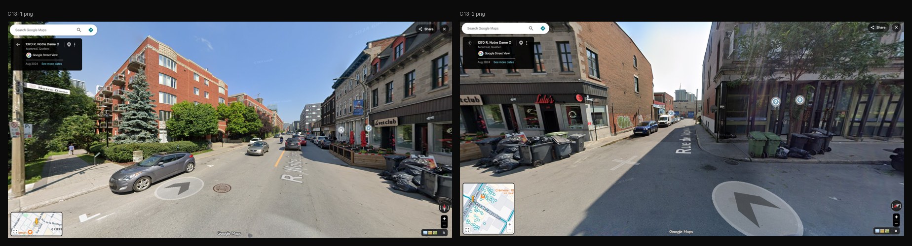
| C13 | Walkway off Notre-Dame and de l’Aqueduc | No change: a private walkway leading out of the area. | Street View (2024-08) |
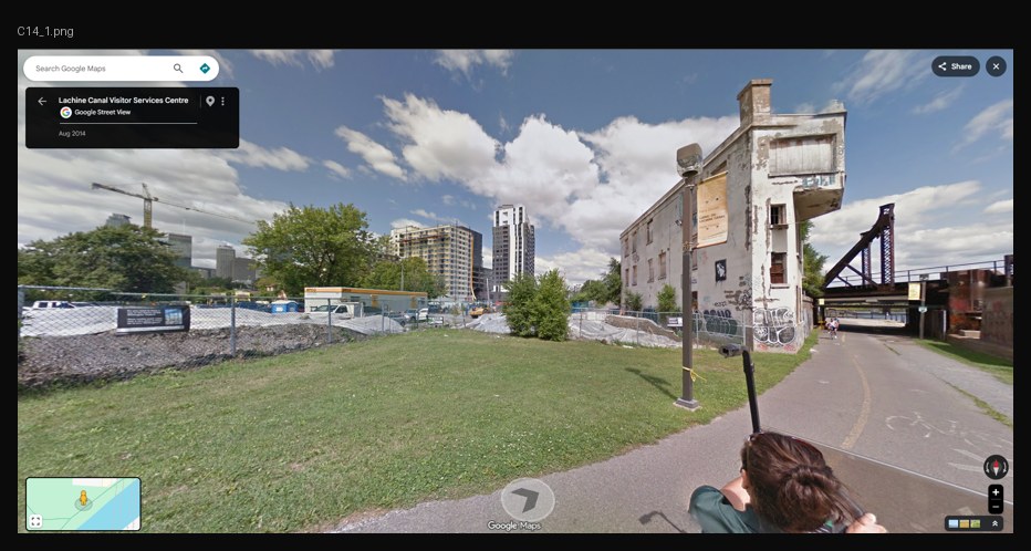
| C14 | Canal path at Place des Aiguilleurs | Part of the canal path (C16). | Street View (2014-08) |
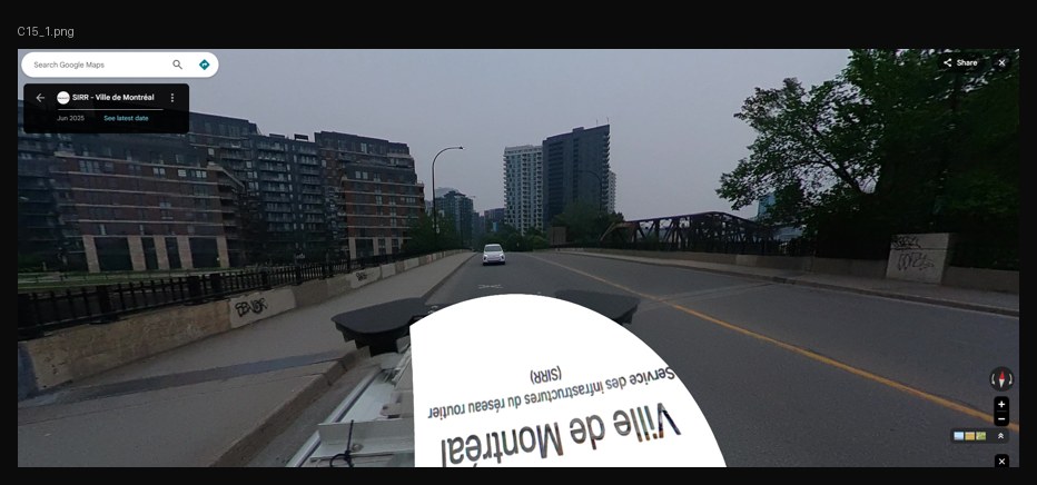
| C15 | Wellington bridge | No change: already in the network beyond the boundary. | Street View (2025-06) |
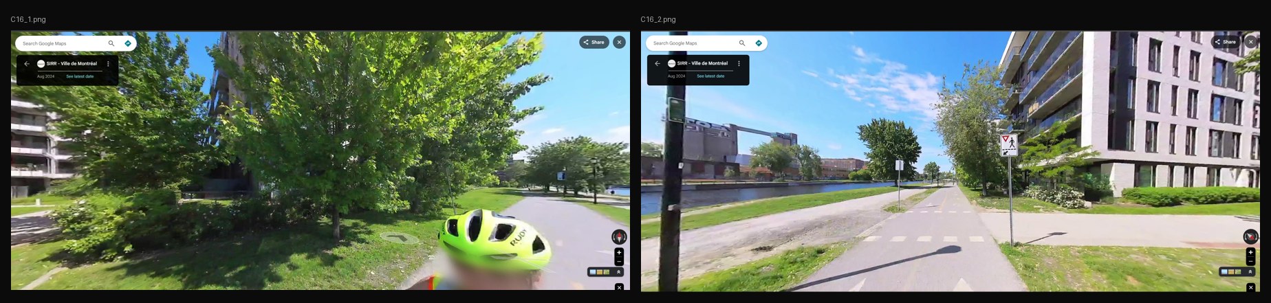
| C16 | Lachine Canal path | Added, walk only, from the city’s bike network, and joined to every street end it passes. | Street View (2024-08); the city’s bike network, with OpenStreetMap as a second opinion |
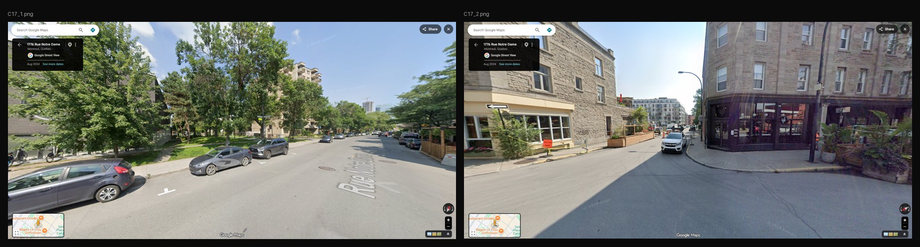
| C17 | Path to the Little Burgundy sports centre | No change: it leads out of the area. | Street View (2024-08) |
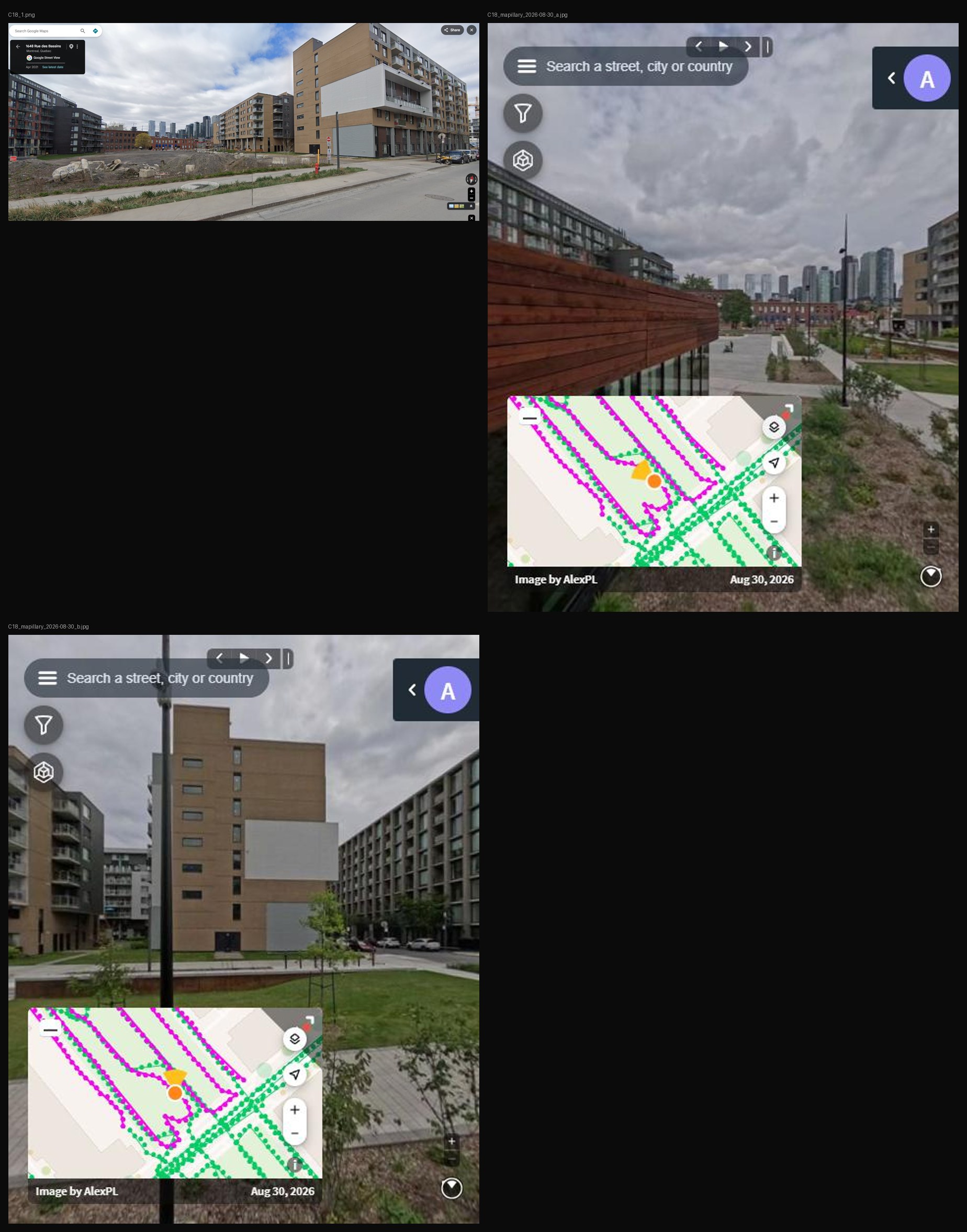
| C18 | New park between Rue des Bassins and Rue William | Added the two park paths, walk only, drawn from OpenStreetMap. | Mapillary; OpenStreetMap (2026-08) |
These links are built as connected and drawn in pink on every sheet. A photo or a visit showing the way through would make one confirmed. One showing that the street really stops would make it rejected; the record would stay, and S1 would treat the street as a dead end again.
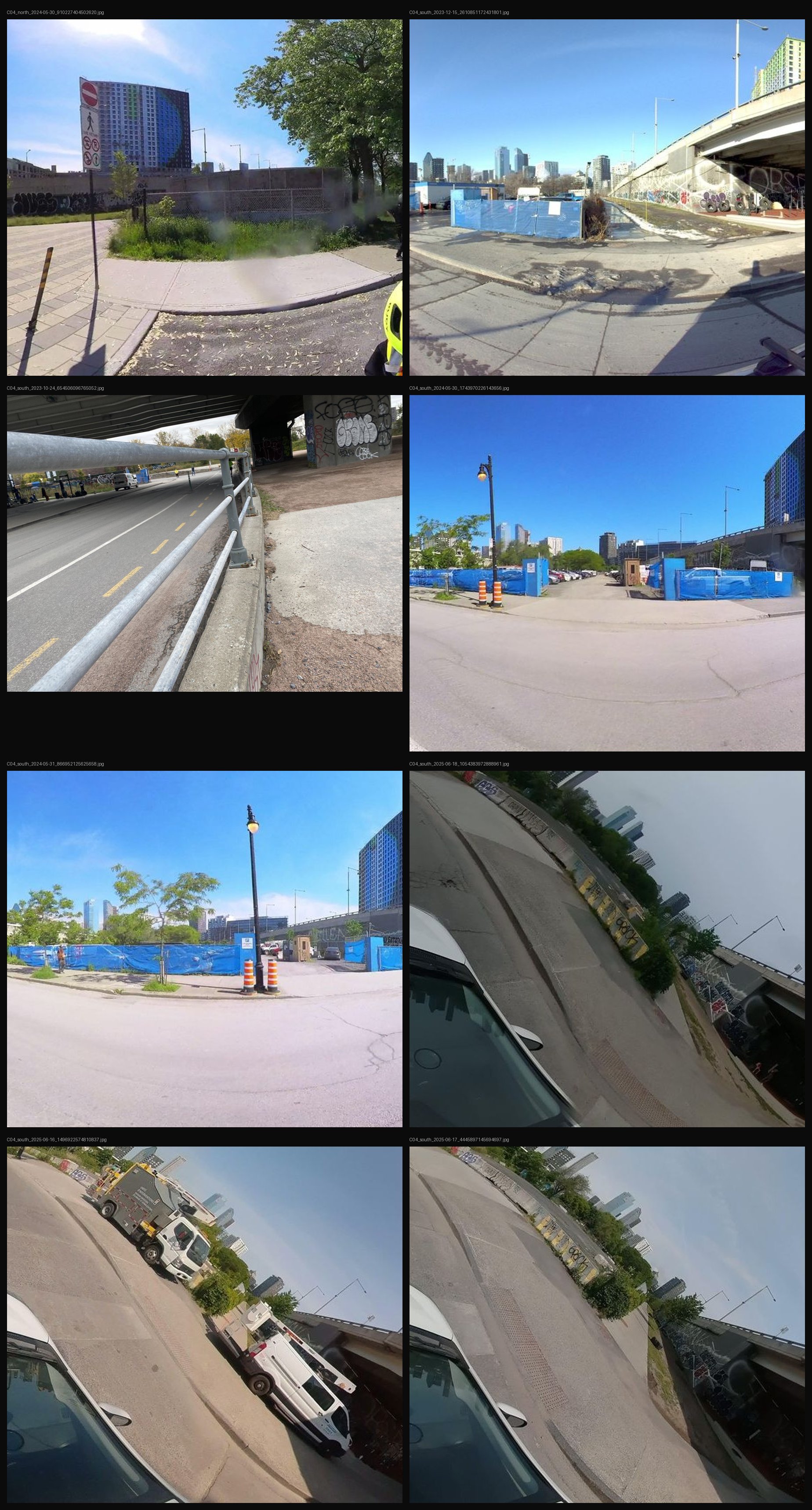
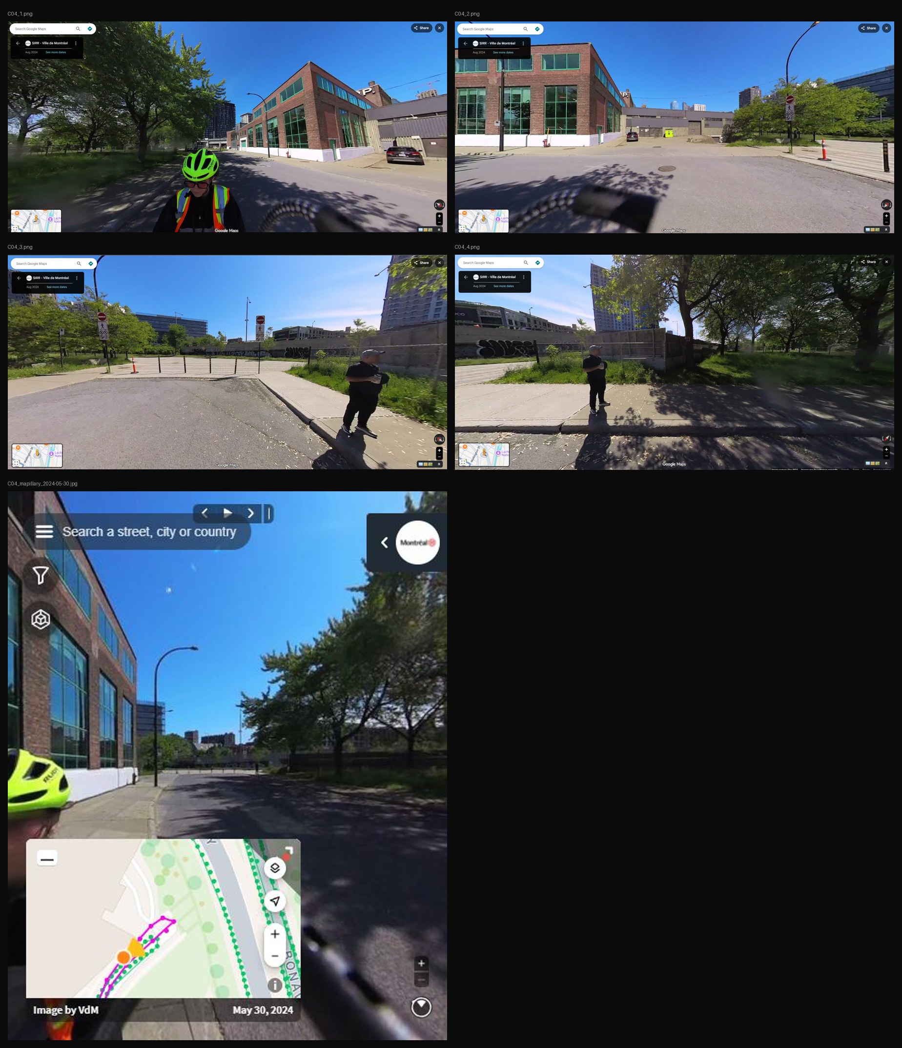
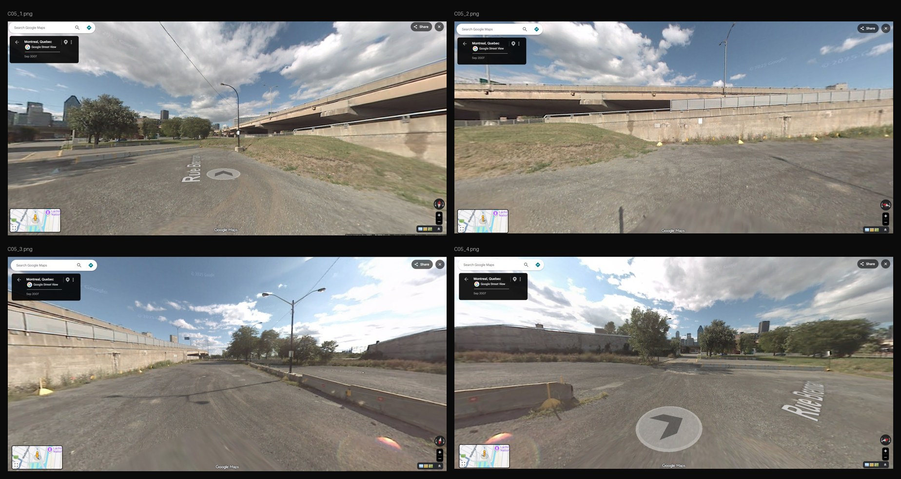
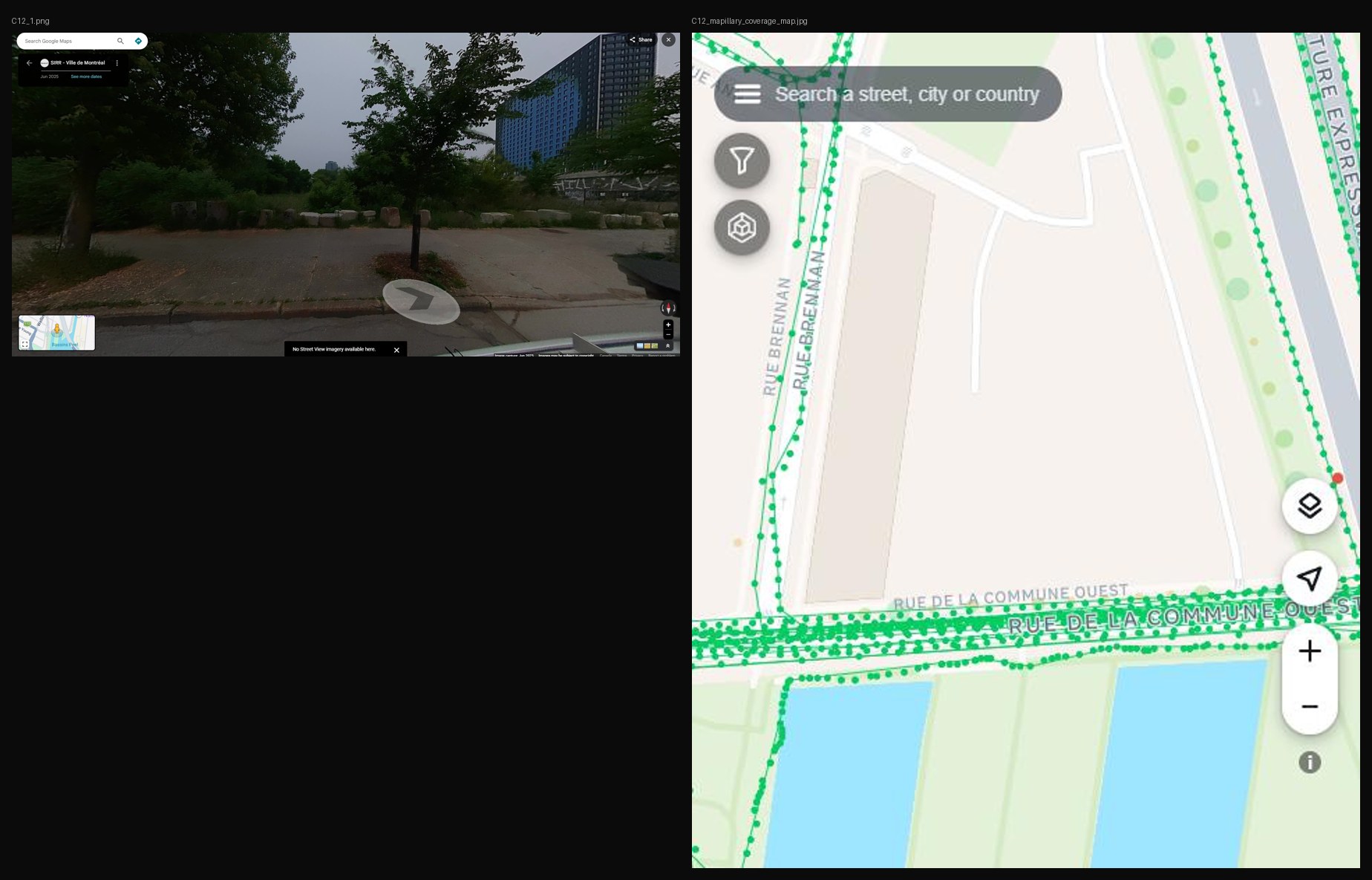
At the end of Rue Brennan (C04), cars stop at the bollards. I assume walkers carry on along a footway through the block to Rue Ann and de la Commune, and that this footway is open (C12). You can look at the end of Brennan and the block yourself. At the end of Rue Ann (C05), I assume the street joins the same footway, 24 m away; the only view is Street View from 2007.
In October 2026 I searched Mapillary for photos near the footway, leaving out those taken from the motorway above. Of 292 photos from 2023 to 2025, none was taken walking along it; the few on it were taken from cars at its south tip. At the north end, a May 2024 photo shows the bollards with a no-entry sign for cars that carries a panel for walkers and bicycles, and paving beyond. The south end was a gravel strip in 2023, then a building site and a parking compound into 2024; the 2025 photos are too tilted to show it. Every photo is listed in this table.
I read the north end as inviting walkers in, and the south end as closed until at least May 2024. Whether the footway is open today, or whether Ann reaches it, remains unknown, so all three stay assumed until a visit with photos at each end.
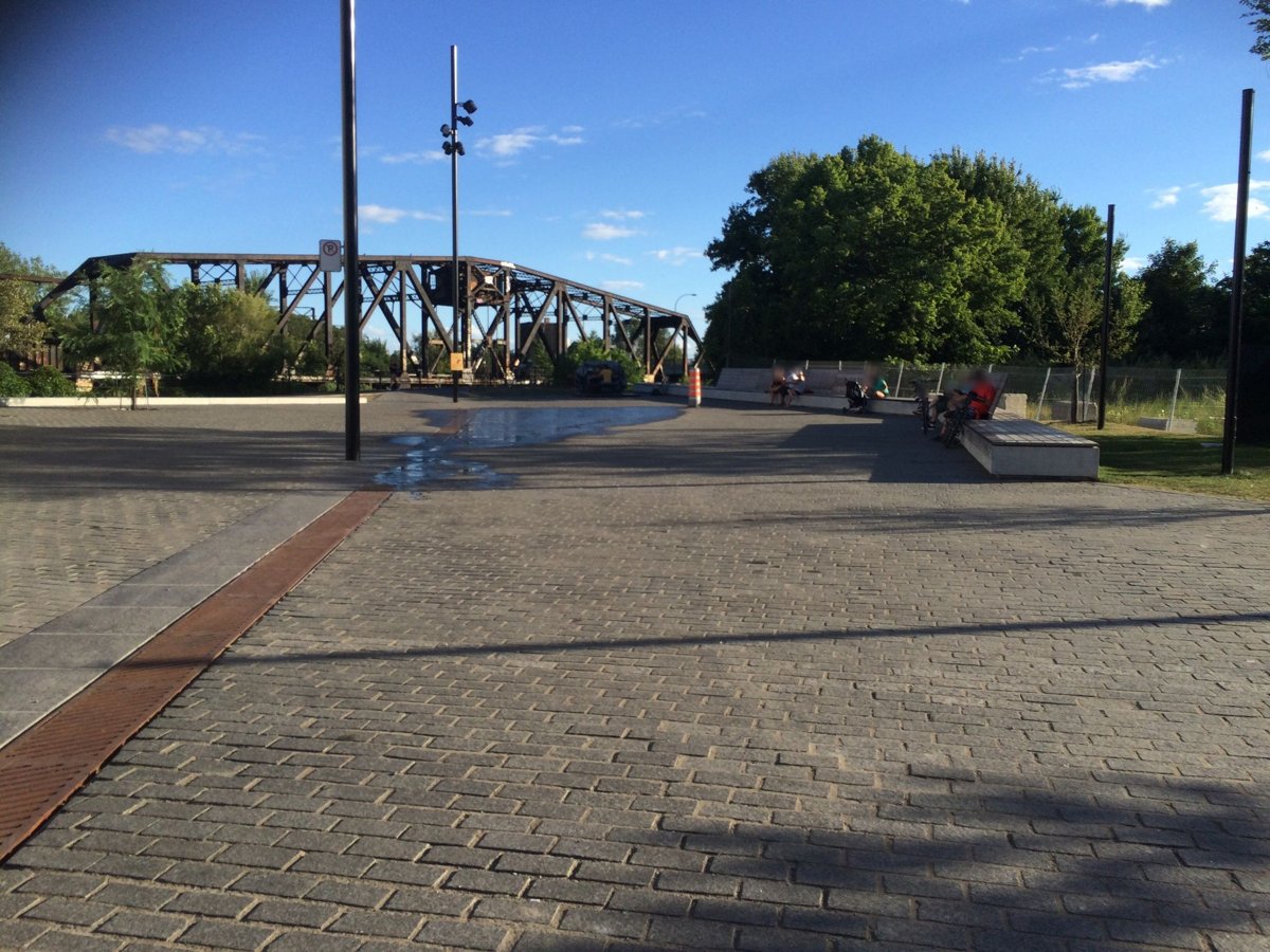
At the end of Rue Smith (C06), walkers continue across the open plaza of Place des Aiguilleurs towards the canal. A straight 41 m line, only a drawing of that crossing, joins the end of Smith to Place des Aiguilleurs. The evidence is Mapillary photos from August 2016 and March 2024.
The first build joined Smith to the nearest street end, which was the other end of Smith itself, so the link connected nothing; the S2 stress test caught it. Once that was fixed, nothing lay within the automatic 25 m reach, and Smith became a dead end again. The photos then decided it, and a decision taken from a photo may now name the street to join.
Both carriageways of Boulevard Robert-Bourassa (C19) now belong to the study area; the boundary used to run between them. The evidence is the city’s street file, which codes them as a pair of one-way roads, and five traffic lights on the east carriageway (October 2026).
Evidence
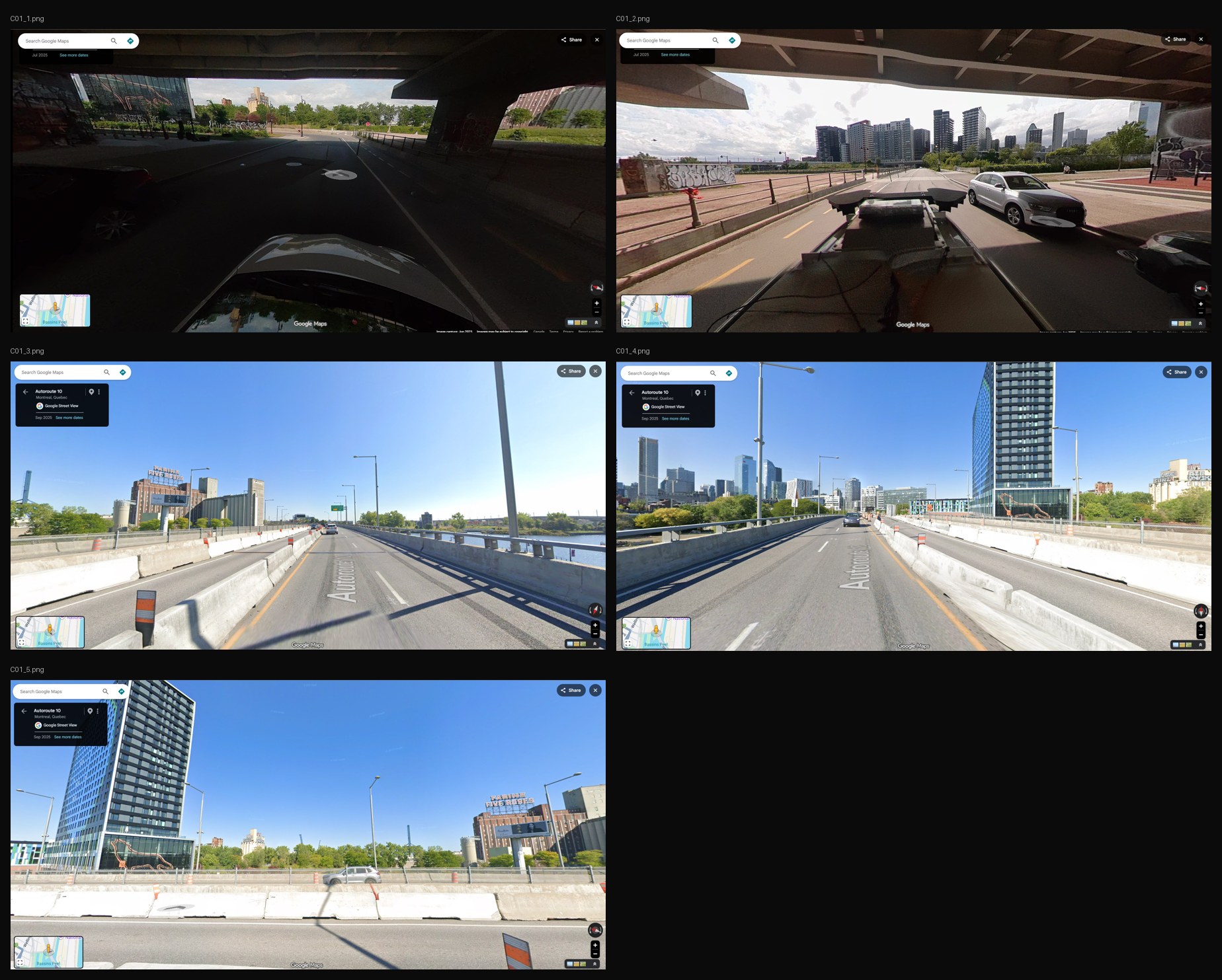
C06 used Mapillary photos from 2016 and 2024.